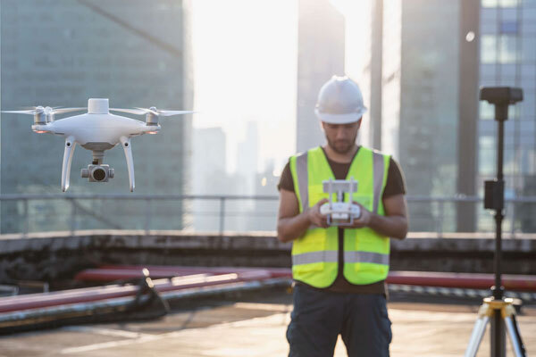
Drone Aerial Mapping
Using highly accurate drone equipment we are able to capture ceintemere accurate imagery for our clients. We can then create a variety of map based products for your project.
Example Projects:
Rolling Meadows Festival Site Map
http://meadows.southerndrone.solutions/
Using our drone we captured around 1,000 images of the property and stiched them together creating an orthomosaic. This allowed our clients to have high resolution birds eye view of their event site.
$1,000.00 per day
Location: City Centre, Christchurch City, Canterbury
Areas serviced: pickup only
More details
main category: Agencies, Services, Help > Professional Services > Technical Services
other categories: -
Owner/supplier:
Add to your Hire Planner and submit a request to get more info or chat
